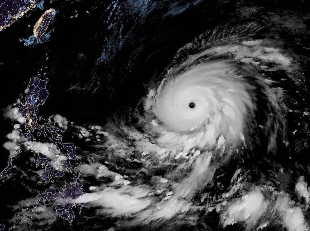
Super Typhoon Mawar continued to strengthen Friday as it moved west over the Pacific toward the Philippines, days after the storm brought damaging winds and rain to Guam.
As of Friday night in the Philippines, the center of the storm was about 1,450 kilometers east of Luzon, the country’s largest and most populous island, the country’s weather service said. The storm, now with maximum sustained winds of nearly 300 kilometers per hour, was moving west at 27 kph, according to the Joint Typhoon Warning Center.
Once the storm approaches the Philippines, heavy rain, flooding, landslides and gale-force winds could lash northern Luzon starting late Sunday or Monday, the weather service said, adding that the storm might also increase monsoon rains across other parts of the country.
The storm was forecast to remain a super typhoon, with winds over 240 kph, over the next two days and then begin to weaken, the U.S. National Weather Service in Guam said.
Because the Philippines gives its own names to typhoons that enter its so-called area of responsibility, a large area of the Western North Pacific, the storm will eventually be known locally as Betty.
It is likely to stay north of the Philippines, but some forecast models show it affecting the northern portion of Luzon.
After the weekend, a handful of forecast models project Mawar turning to the north and then quickly to the northeast. Such a track could potentially keep the storm from affecting Taiwan, China or South Korea. Depending on the timing of other weather systems in the area, the storm could track farther west, moving toward Taiwan, or northwest toward Japan.
Those developments wouldn’t come until late next week and into the following weekend, and a lot could change in the atmosphere within that time frame. As the storm moves north, toward or away from Japan, it is expected to weaken as it encounters cooler waters.
Source: Japan Times


